Drone Monitoring
sUAVs (small unmanned aircrafts vehicles), commonly known as drones, are small aircrafts controlled by a ground pilot and can be used as a tool for many different functions. Drones are primarily used for photographing and taking videos at heights and ranges not possible on foot. Having the ability to monitor inaccessible or hazardous sites using this technology may be useful in the following cases:
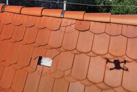
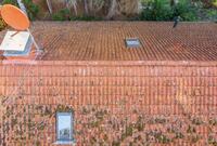
- Inspecting/Documenting an inaccessible roof
- Inspecting/Documenting an unsafe roof
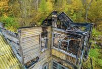
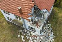
- Inspecting/Documenting a fire loss
- Inspecting/Documenting over a body of water
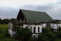
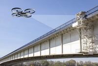
Drones are ideal in large project documentation because of their ability to:
- Create large maps of current conditions without separating structures
- Create a product that is reproducible and can be used as a before and after comparison
- Create GIS Shapefiles based on current site condition
- Document small details that may not be recorded otherwise
- Work quickly and efficiently
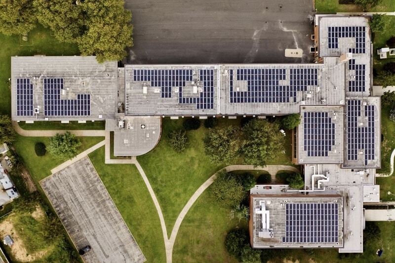
Guzi-West Inspection and Consulting has licensed FAA drone pilots who are able to cater their drone capabilities to unique and specialized onsite documentation needs.

 Statement of Work